
Access the social network for aircraft pilots and flying clubs
Weather and map
showLatest official posts from Goboko
Matthew Goboko published 01/03/2024 on the wall of Goboko (official)...

Happy New Year 2024 to our flying club members! May your flights be safe, with aerial discoveries and unforgettable moments in the skies, and may this year offer to you new horizons and extraordinary aerial adventures!
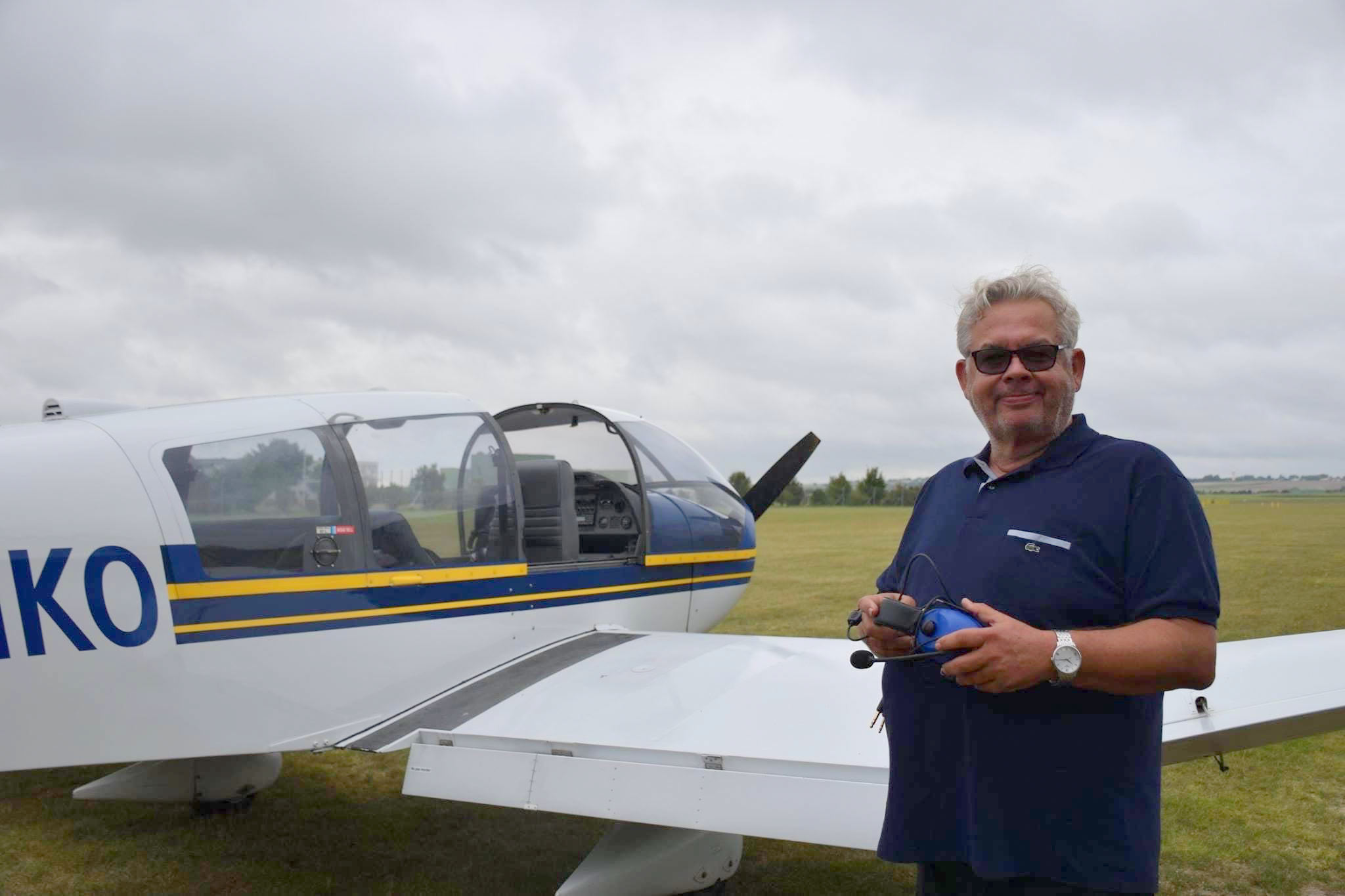
GOBOKO
Matthew Goboko published 06/09/2023 on the wall of Goboko (official)...

It's Roland Garros time !
Opened in 1928, Roland Garros was built to preserve France's tennis success the year prior the country won the Davis Cup. Emile Lesieur, president of the Stade Francais at the time, requested the venue be named after his heroic former classmate Roland Garros, who had died during World War I in 1918.
Roland Garros very quickly wants to take part of the aviation history. He buys himself a plane and learns to fly alone! The pilot will be certified after the fact. He managed to "get hired" after three hours of flight, for big meetings in the United States, in New York. We’re going to call him "Cloud kisser".…
Matthew Goboko published 06/06/2023 on the wall of Goboko (official)...

The Aircraft Supporting D-Day
« Supporting Operation Overlord were more than 11,000 planes. Above the chaos on the beach, these airmen provided air cover and strafed reinforced concrete strongholds. Through the smoke-filled gray skies flew P-51 Mustangs, P-47 Thunderbolts, Supermarine Spitfires, and Hawker Hurricanes. Behind the lines cutting off supplies and reinforcements by attacking trains, convoys and factories flew bombers like A20 Havocs, B-26 Marauders, Avro Lancasters, and P-38 Lightnings. Transporting and dropping airborne assault troops behind the Germans before the beach landings were C-47 Dakotas. Carrying soldiers inland to attack the German’s flanks were British and American glider aircraft like the CG-5 Hadrin and A.S. 51 Horsas.
To…
Matthew Goboko published 05/11/2023 on the wall of Goboko (official)...

In loving memory of Jean-Claude alias John
Matthew Goboko published 05/11/2023 on the wall of Goboko (official)...
Dear Members,
Since its inception in 2003 by two co-owners of an airplane at Biggin Hill, EGKB, Goboko has been assisting you in managing your bookings, whether you are instructors, pilots, student pilots, enthusiasts, or just plain passionate.
In 2019, a new dynamic was launched by Jean-Claude (whom you also knew as John): complete overhaul of the interfaces, addition of new modules (experience sharing, communication, tracking of key dates), GDPR compliance, creation of Android and iOS applications... Jean-Claude had modernized Goboko, while keeping its essence. He was passionate and gave wings to Goboko.…
Volker
01/11/2024 01:06 PM
Happy New Year to you as well!